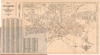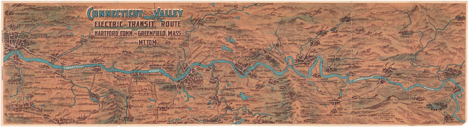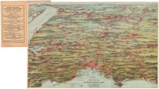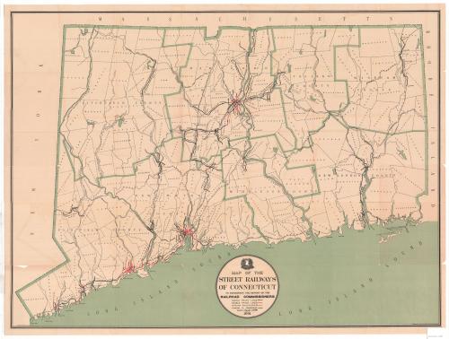
Map of the Street Railways of Connecticut
MakerPrepared by
Frederick L. Ford
(American, 1871 - 1940)
PrintmakerLithographed by
Kellogg & Bulkeley
(American, 1867 - 1990)
PublisherPublished by the
Board of Railroad Commissioners
(American, 1854 - 1911)
Date1901
MediumLithography; black and green printer's inks on wove paper, lined with paper
DimensionsPrimary Dimensions (image height x width): 24 3/8 x 32 3/4in. (61.9 x 83.2cm)
Sheet (height x width): 25 1/2 x 33 5/8in. (64.8 x 85.4cm)
Mount (height x width): 25 1/2 x 33 5/8in. (64.8 x 85.4cm)
Sheet (height x width): 25 1/2 x 33 5/8in. (64.8 x 85.4cm)
Mount (height x width): 25 1/2 x 33 5/8in. (64.8 x 85.4cm)
ClassificationsGraphics
Credit LineConnecticut Museum of Culture and History collection
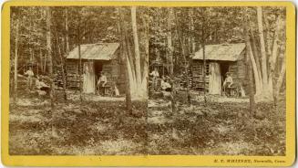
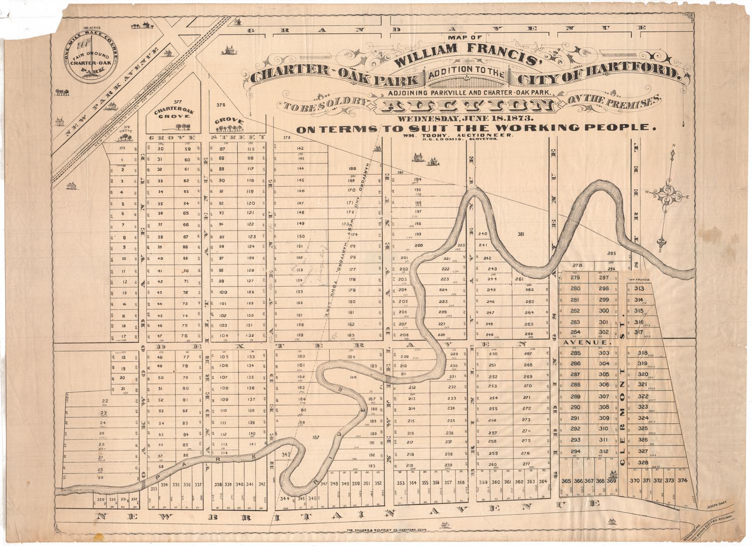
DescriptionMap of Connecticut, from Massachusetts to the north, Rhode Island to the east, the Long Island Sound to the south, and New York to the west. The state is divided into counties and towns, and depicts the locations of its street railways. The different types of tracks -- single and double -- are color-coded, with changes in ownership denoted with a closed circle. Street railway companies labeled on the map include the Stamford Street Railroad; Connecticut Railway and Lighting; the West Shore Railway; the Winchester Avenue Railroad; Fair Haven & Westville Railroad; Branford Electric Railway; Danbury & Bethel Street railway; the Torrington & Winchester Street Railway; Meriden Electric Railroad; Compounce Tram; Middletown Street Railway; Bristol & Plainville Tram; Farmington Street Railway; Hartford Street Railway; Hartford, Manchester & Rockville Tram; Hartford & Springfield Street Railway; Montville Street Railway; Norwich Street Railway; Peoples Tram; and New London Street Railway.
Steam railroads are also depicted and are labeled, including the New York, New Haven and Hartford; Berkshire Branch; Northampton Division; Hartford Division; Highland Division; Air Line Division; Shore Line Division; New London Northern; and Shore Line & Worcester Division Railroads.
Steam railroads are also depicted and are labeled, including the New York, New Haven and Hartford; Berkshire Branch; Northampton Division; Hartford Division; Highland Division; Air Line Division; Shore Line Division; New London Northern; and Shore Line & Worcester Division Railroads.
Object number2012.312.108
NotesCartographic Note: Scale: 1 1/2 inches equals 4 milesOn View
Not on view
Traffic Department, New Haven, Connecticut
1915-1929