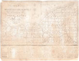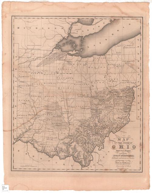
Map of the State of Ohio
DraftsmanDrawn by
John Kilbourne
(American, 1787 - 1833)
PrintmakerEngraved by
Abner Reed
(American, 1771 - 1866)
Date1820
MediumEngraving; black printer's ink on wove paper
DimensionsPrimary Dimensions (image height x width): 19 1/8 x 16 3/8in. (48.6 x 41.6cm)
Platemark (height x width): 20 1/2 x 17 1/4in. (52.1 x 43.8cm)
Sheet (height x width): 23 1/4 x 18 1/4in. (59.1 x 46.4cm)
Platemark (height x width): 20 1/2 x 17 1/4in. (52.1 x 43.8cm)
Sheet (height x width): 23 1/4 x 18 1/4in. (59.1 x 46.4cm)
ClassificationsGraphics
Credit LineConnecticut Museum of Culture and History collection
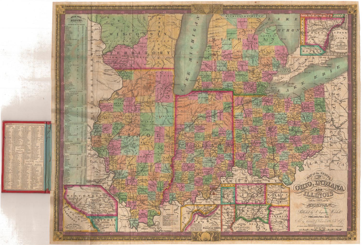
DescriptionMap of Ohio, with Lake Erie to the north, the boundary of Pennsylvania to the east, the Ohio River to the south, and the border of Indiana to the west. The state is divided into counties, denoted with broken solid lines. Townships are marked with clusters of black shaded areas, presumably denoting concentrations of buildings. Rivers, swamps and prairies and lakes are labeled, and elevation is conveyed through hachure marks. In the southwestern part of the state, Brown, Clinton and Greene counties are labeled, "Limestone Region." In the southeastern part of the state, Jackson, Athens, Morgan, Muskingum and Guernsey counties are labeled, "Unbroken Sandstone Region."
Object number2012.312.98
NotesCartographic Note: Scale: 1 inch equals 15 milesOn View
Not on view
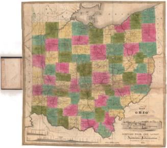
Samuel Augustus Mitchell
1835
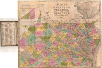
Samuel Augustus Mitchell
1834