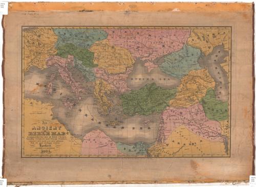
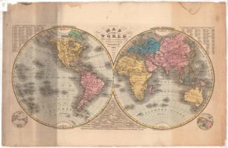
An Ancient or Bible Map
PublisherPublished by
Eleazer Huntington
(American, 1789 - 1852)
Date1831
MediumEngraving; black printer's ink and watercolor on paper, backed with linen
DimensionsPrimary Dimensions (image height x width): 12 11/16 x 19 15/16in. (32.2 x 50.6cm)
Platemark (height x width): 13 1/2 x 20 3/4in. (34.3 x 52.7cm)
Sheet (height x width): 17 1/2 x 24in. (44.5 x 61cm)
Platemark (height x width): 13 1/2 x 20 3/4in. (34.3 x 52.7cm)
Sheet (height x width): 17 1/2 x 24in. (44.5 x 61cm)
ClassificationsGraphics
Credit LineConnecticut Museum of Culture and History collection
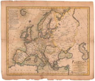
DescriptionMap of Europe, part of Northern Africa and the Middle East, with classical or biblical boundaries and names. The map extends from Germania to the north, the Caspian Sea to the east, Libya to the south, and Gaul to the west. Settlements are marked with circles, some cities are marked with circles inscribed with a dot, possibly indicating important places, and capitals are marked with circles with stars around them. St. Paul's route from Jerusalem to Rome is labeled.
Object number2012.312.91
NotesCartographic Note: 1 7/16" equals about 200 milesOn View
Not on view

H. F. Sumner & Co.
1833