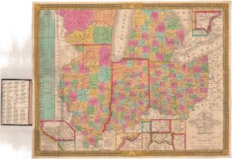
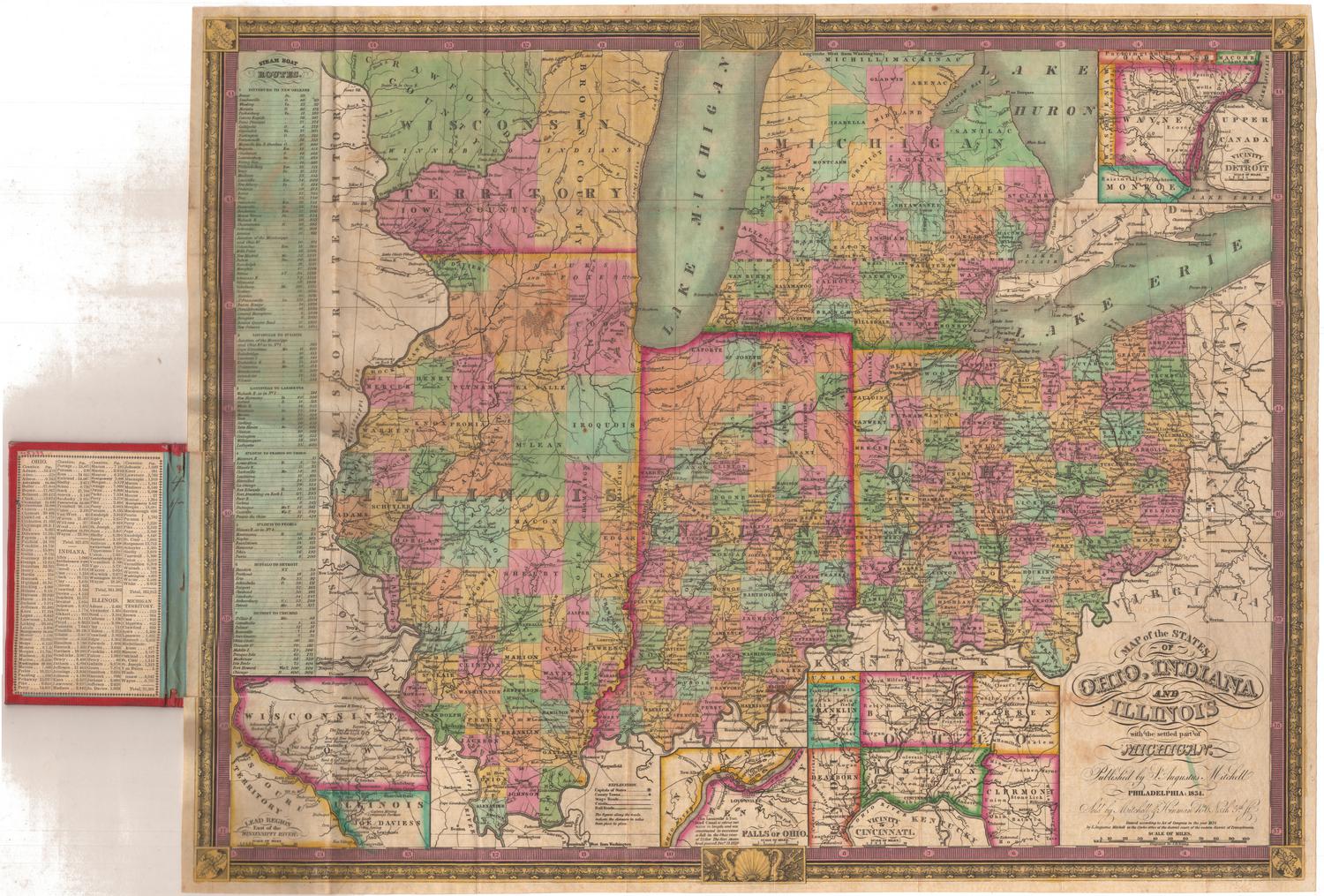
Map shewing the connection of the Baltimore and Ohio Rail Road with other rail roads executed or in progress throughout the United States
PrinterPrinted by
Edward Weber & Company
(American, 1835 - 1854)
Dateabout 1845
MediumLithography; black printer's ink on wove paper
DimensionsPrimary Dimensions (image height x width): 17 3/4 x 21 1/4in. (45.1 x 54cm)
Sheet (height x width): 19 5/8 x 24 1/8in. (49.8 x 61.3cm)
Sheet (height x width): 19 5/8 x 24 1/8in. (49.8 x 61.3cm)
ClassificationsGraphics
Credit LineConnecticut Museum of Culture and History collection
DescriptionMap of the United States, exending from Michigan to the north, the Atlantic Ocean to the east, the Gulf of Mexico to the south and Missouri, Arkansas and Louisiana to the west. The routes of the Baltimore and Ohio Railroad are drawn in solid black lines, with towns on the route labeled. There are other, smaller solid black lines that may represent connections, and double parallel lines or broken solid lines that show the routes of other railroads. The other railroads listed are an unnamed railroad running between Lancaster and Philadelphia, Pennsylvania; an unnamed railroad running along a short stretch of the canal between Pittsburgh and Holidaysburg, Pennsylvania; the Erie Railroad; and an unnamed railroad between the St. Lawrence River and Belfast, Maine. State boundaries are drawn in broken solid and dotted lines, and rivers are labeled.
Object number2012.312.85
NotesCartographic Note: No scaleOn View
Not on view
Samuel Augustus Mitchell
1835
Samuel Augustus Mitchell
1834