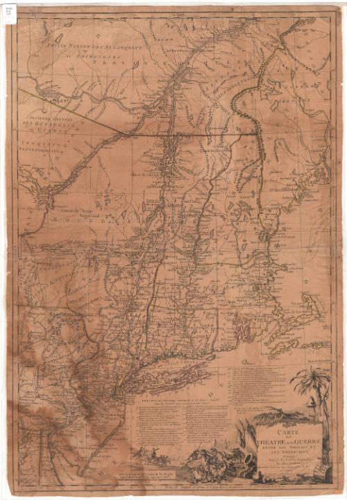
Carte du theatre de la guerre entre les Anglais et les Americains
MakerMade by
Louis Brion de la Tour
(French, died 1823)
Date1782
MediumEngraving; black printer's ink and watercolor on laid paper
DimensionsPrimary Dimensions (image height x width): 29 3/4 x 20 3/8in. (75.6 x 51.8cm)
Sheet (height x width): 30 1/2 x 21 1/8in. (77.5 x 53.7cm)
Sheet (height x width): 30 1/2 x 21 1/8in. (77.5 x 53.7cm)
ClassificationsGraphics
Credit LineConnecticut Museum of Culture and History collection
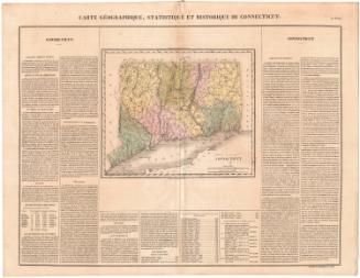
DescriptionMap of the New England states, New Jersey, New York, Pennsylvania, Delaware, and Maryland, and part of Canada, depicting part of the Revolutionary War theater. Towns, what appear to be forts and possibly barracks are marked with symbols and names. Physical features include mountains, rivers, lakes and islands. The decorative cartouche features a representation of two cavalry forces engaged in combat; several symbols of war, including a cannon and cannonballs, a drum and various polearms. A liberty cap on a pole leans against the title block in front of a palm tree. Below the map is a timeline explaining the major events in the war from 1775 to 1777. Degrees of latitude and longitude are inscribed around the borders. All of the text is in French.
Object number2012.312.76
NotesCartographic Note: Scale:On View
Not on view