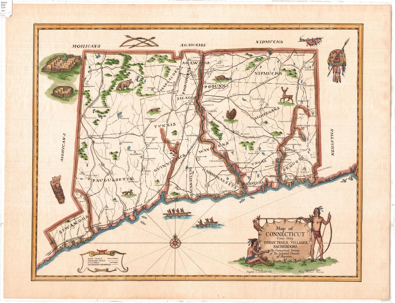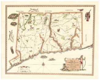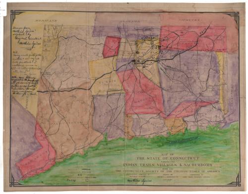
Map of the State of Connecticut showing Indian Trails, Villages, & Sachemdoms
MakerCompiled by
Mathias Spiess
(American, 1873 - 1959)
DraftsmanDrawn by
Hayden L. Griswold
(American, 1892 - 1985)
Date1930
MediumPhotography and drawing; photostat, ink and watercolor on paper, lined with Japanese paper
DimensionsPrimary Dimensions (image height x width): 15 1/8 x 20in. (38.4 x 50.8cm)
Sheet (height x width): 16 3/8 x 21in. (41.6 x 53.3cm)
Sheet (height x width): 16 3/8 x 21in. (41.6 x 53.3cm)
ClassificationsGraphics
Credit LineConnecticut Museum of Culture and History collection
DescriptionMap of Connecticut depicting the sachemdoms of the Siwanog, Paugussett, Massacoe, Tunxis, Quinnipiac, Agawam, Poquonock, Sicaog, Podunk, Wangunk, Menunkatuck, Hammonasset, Nipmuck, Mohegan, Unca, Nehantic and Pequot tribes. The sachemdoms are distinguished by boundary lines and different colors. Main trails, secondary trails, villages and forts are also shown on the map. Elevation is conveyed through hachure marks.
Object number2012.312.66
NotesCartographic note: No scaleOn View
Not on view