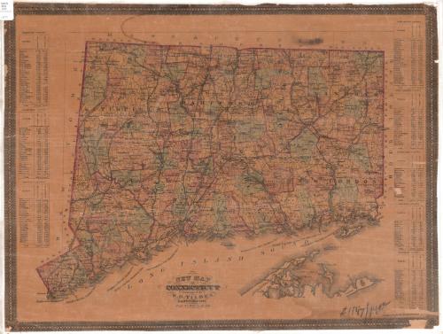
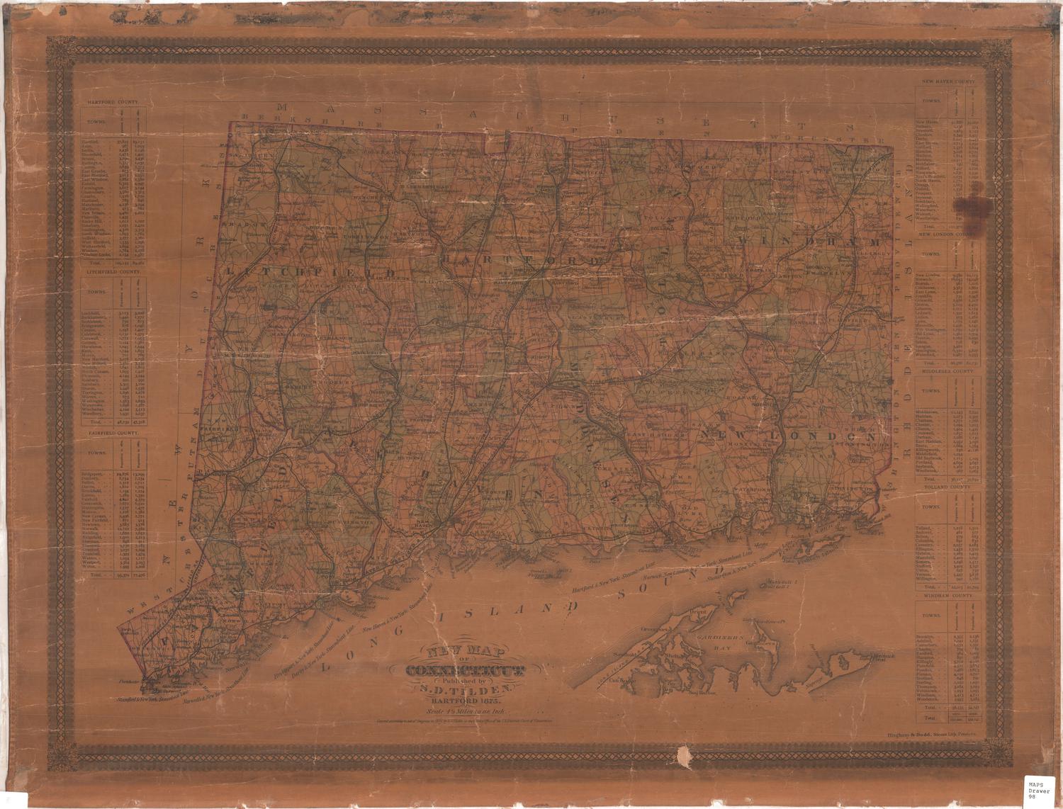
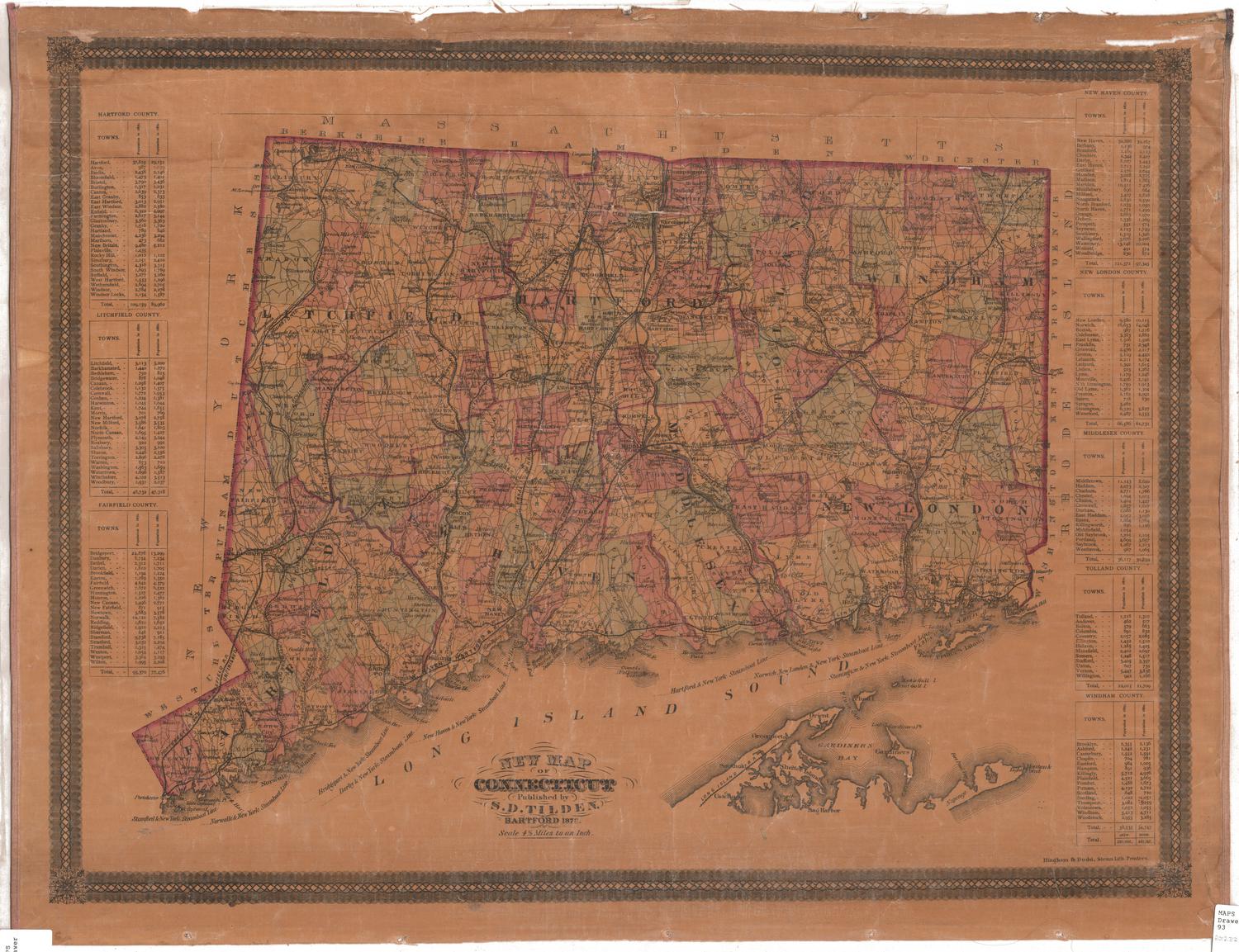
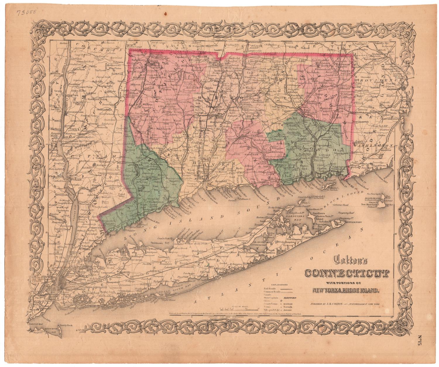
New Map of Connecticut
PublisherPublished by
Samuel D. Tilden
(American, 1828 - 1893)
PrinterLithographed by
Bingham & Dodd
(1860 - 1878)
Date1879
MediumLithography; black printer's ink and watercolor on paper, on linen
DimensionsPrimary Dimensions (image height x width): 20 3/4 x 27 1/4in. (52.7 x 69.2cm)
Sheet (height x width): 20 3/4 x 27 1/4in. (52.7 x 69.2cm)
Mount (height x width): 20 3/4 x 27 1/4in. (52.7 x 69.2cm)
ClassificationsGraphics
Credit LineConnecticut Museum of Culture and History collection
Object number2012.312.62
DescriptionMap of Connecticut, with Massachusetts to the north, Rhode Island to the east, the Long Island Sound to the south, and New York to the west. Connecticut is divided into towns, marked by solid lines and colored pink, green or yellow; and counties, marked by broken solid and dotted lines and outlined in dark pink. The New York, New Haven and Hartford; Shepaug; Portchester and Ridgefield; Danbury and Norwalk; Boston, Hartford and Erie; Housatonic; Connecticut Western; Connecticut Valley; Hartford, Providence and Fishkill; Shore Line; Boston and New York Air Line; New York and New England; and Norwich and Worcester Railroads are depicted. Additionally, the Stamford and New York; Norwalk and New York; Bridgeport and New York; Derby and New York; New Haven and New York; Hartford and New York; Norwich, New London and New York; and Stonington and New York Steamboat Lines are shown. On the left and right sides of the map are lists of the towns in Connecticut's counties and their populations in 1870 and 1860.
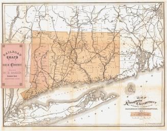
Label TextThere is nothing very "new" about the appearance of Samuel D. Tilden's New Map of Connecticut. It is closely based on a map that Baker & Tilden had published ten years earlier, and it follows the traditional format of still earlier maps. It has been updated, however, to show three new Connecticut towns towns added in the 1870s: Beacon Falls (1871), Newington (1871), and Thomaston (1875). The network of roads and railroads on the map id so dense that it would be of little practical use to anyone trying to using the map as a route map, but it suggests that both systems were widespread and well-developed at this date.
NotesCartographic Note: Scale: 1 inch equals 4 1/2 milesStatus
Not on view
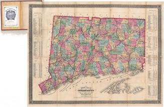

Lucius Stebbins & Co.
1859