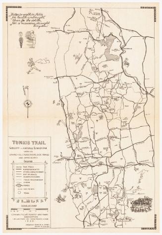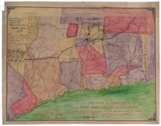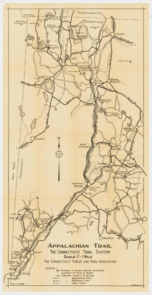
Appalachian Trail: The Connecticut Trail System
PublisherPublished by
Connecticut Forest and Park Association
(American, founded 1895)
DraftsmanDrawn by
Ralph A. Wheeler
(American, 1893 - 1984)
Date1934
MediumLithography; black printer's ink on wove paper
DimensionsPrimary Dimensions (image height x width): 27 x 13 1/4in. (68.6 x 33.7cm)
Sheet (height x width): 28 1/8 x 14 1/4in. (71.4 x 36.2cm)
Sheet (height x width): 28 1/8 x 14 1/4in. (71.4 x 36.2cm)
ClassificationsGraphics
Credit LineConnecticut Museum of Culture and History collection
DescriptionTrail map of the Appalachian and the Mattatuck Trails as they run through Connecticut, from Indian Rocks at the border of New York to Bear Mountain at the border of Massachusetts. Along the routes are circled numbers that mark trail or road junctions, as well as circled "S"es that denote the locations of springs. Other, smaller trails are also included and labeled, as are mountains and their height in feet. The Berkshire Division of the New York, New Haven and Hartford Railroad runs north-south across the map, and the Southern New England Railroad runs east-west.
Object number2012.312.52
NotesCartographic Note: Scale: 1 inch equals 1 mileOn View
Not on view