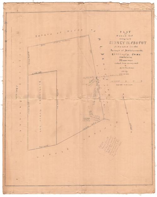
Plat of House Lot Belonging to Sidney W. Crofut Situated in the Borough of Danielsonville, Killingly, Conn.
SurveyorSurveyed by
George W. Pike
(American, 1832 - 1900)
Date1884
MediumDrawing; black ink and pencil on wove paper
DimensionsPrimary Dimensions (image height x width): 22 3/8 x 19in. (56.8 x 48.3cm)
Sheet (height x width): 24 1/4 x 19 1/2in. (61.6 x 49.5cm)
Mount (height x width): 24 1/4 x 19 1/2in. (61.6 x 49.5cm)
ClassificationsGraphics
Credit LineConnecticut Museum of Culture and History collection
Object number2012.312.46
DescriptionMap of a lot, bounded on north and east by the estate of the heirs of H.L. Danielson, to the south by Cottage Street, and to the west by Prospect Street. Within the lot, on the left, is "Scofield's House Lot." The dimensions in feet and degrees north are included on all sides of both lots. The plat came with several smaller sketches and notes that appear to relate to the larger drawing.
Label TextSidney W. Crofut was born in Brooklyn, New York about 1840 and began working in an insurance company in New York City. He moved to Connecticut for his health, where he first settled in Danielson. Though this map of his Danielson propery was originally surveyed and drawn by George W. Pike in 1884, penciled notations indicate that Pike resurveyed the property line between Crofut's property and John W. Danielson's property in 1889 and apparently the property was surveyed again in 1906 by another surveyor named Francis. Since Crofut moved to Hartford in 1893, the latest survey may be relate to the sale of the Danielson property. This map is a reminder that maps are often working documents that can reflect change over time.
NotesCartographic Note: 1 inch equals 16 feetStatus
Not on view
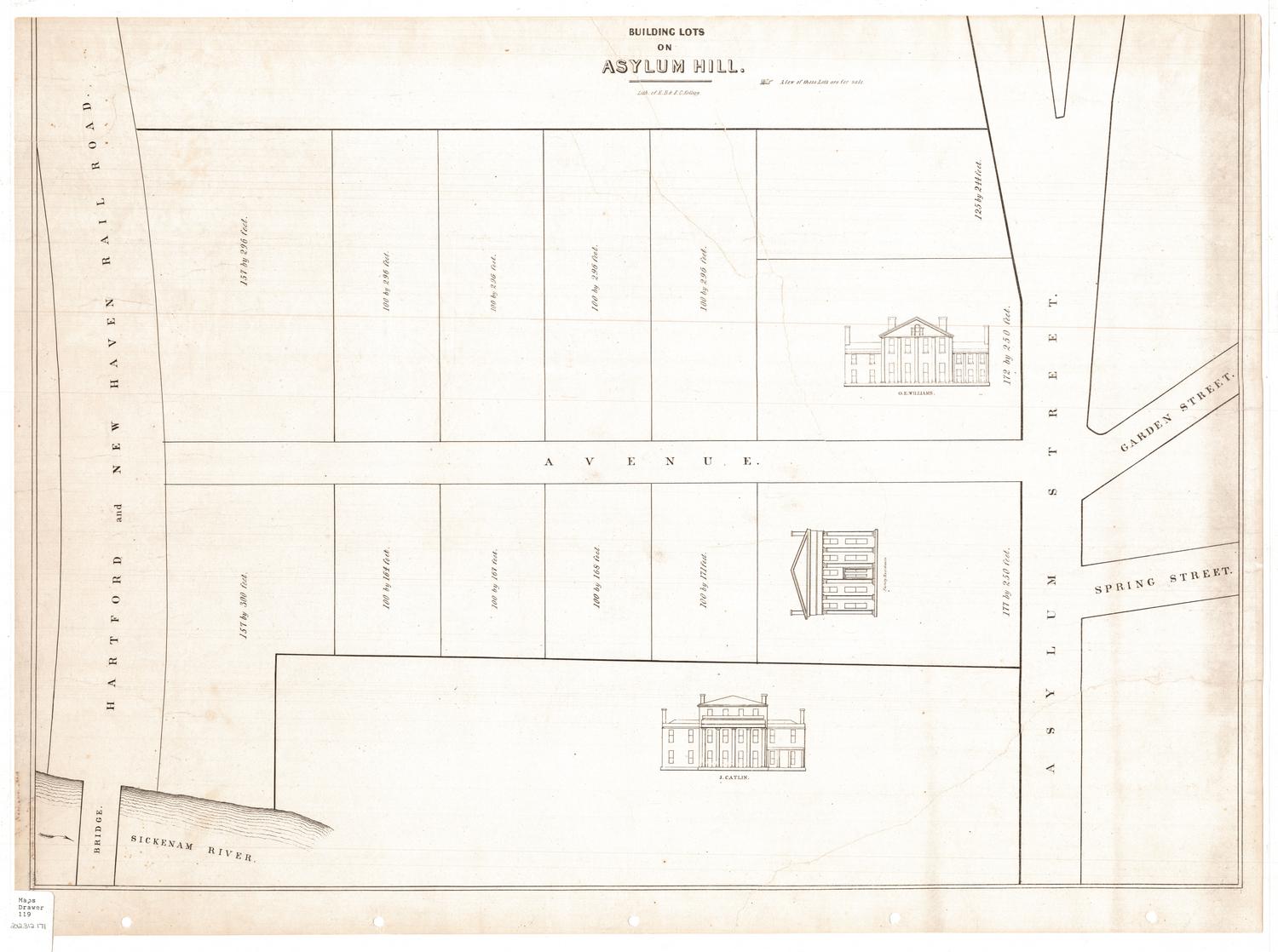
D. W. Kellogg & Co.
1830-1840
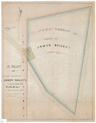
William C. Stanton
1848