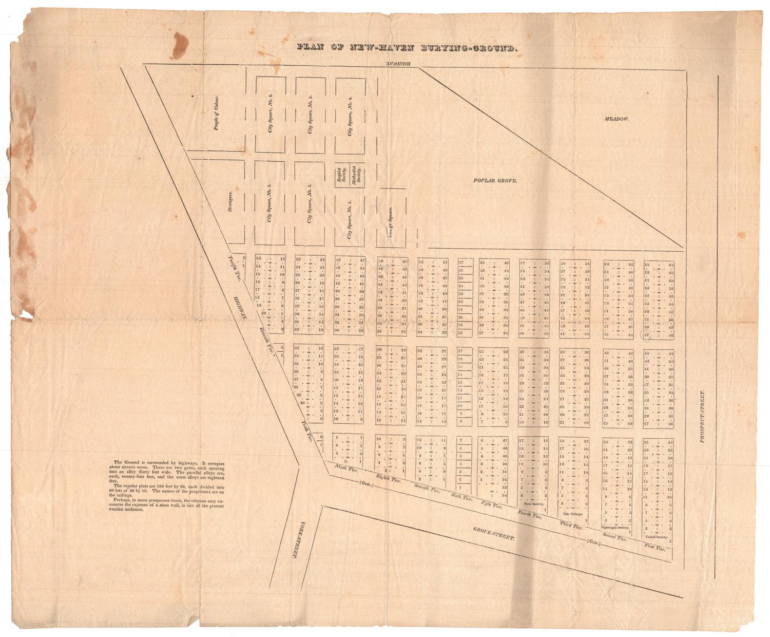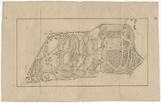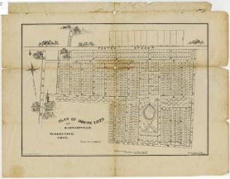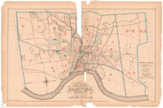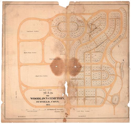
Map of Woodlawn Cemetery, Suffield, Connecticut
DesignerDesigned by
Benjamin F. Hatheway
(American, 1827 - 1906)
DraftsmanDrawn by
Benjamin F. Hatheway
(American, 1827 - 1906)
Date1873
MediumLithography; black printer's ink and watercolor on wove paper
DimensionsPrimary Dimensions (image height x width): 24 1/4 x 26 1/4in. (61.6 x 66.7cm)
Sheet (height x width): 25 5/8 x 27 1/4in. (65.1 x 69.2cm)
Sheet (height x width): 25 5/8 x 27 1/4in. (65.1 x 69.2cm)
ClassificationsGraphics
Credit LineConnecticut Museum of Culture and History collection
DescriptionMap of Woodlawn Cemetery in Suffield Connecticut, oriented with north pointing toward the bottom right corner. The map shows numbered plots in each section, with the exception of Woodland, Myrtle Plain, Maple Grove and East Front Sections. The winding roads and paths are colored yellow, and there are two small ponds in the northwest part of the cemetery, on the right side of the map.
Object number2012.312.45
NotesCartographic Note: Scale: 1 inch equals 40 feetOn View
Not on view