Norwich, circa 1830: A Boyish Remembrance
DraftsmanBased on writings by
Donald Grant Mitchell
(American, 1822 - 1908)
PrinterPrinted by
Heliotype Printing Co.
(American, 1872 - 1908)
Dateafter 1872
MediumPhotomechanical prints; heliotype on paper
DimensionsPrimary Dimensions (image height x width): 20 13/16 x 6 1/8in. (52.9 x 15.6cm)
Sheet (height x width): 25 3/4 x 9 7/16in. (65.4 x 24cm)
ClassificationsGraphics
Credit LineConnecticut Museum of Culture and History collection
Object number2012.312.37
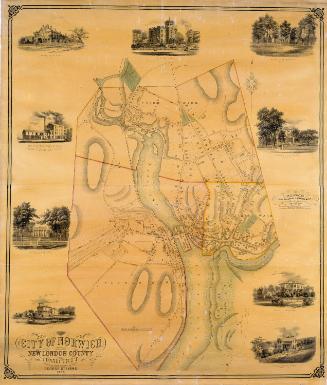
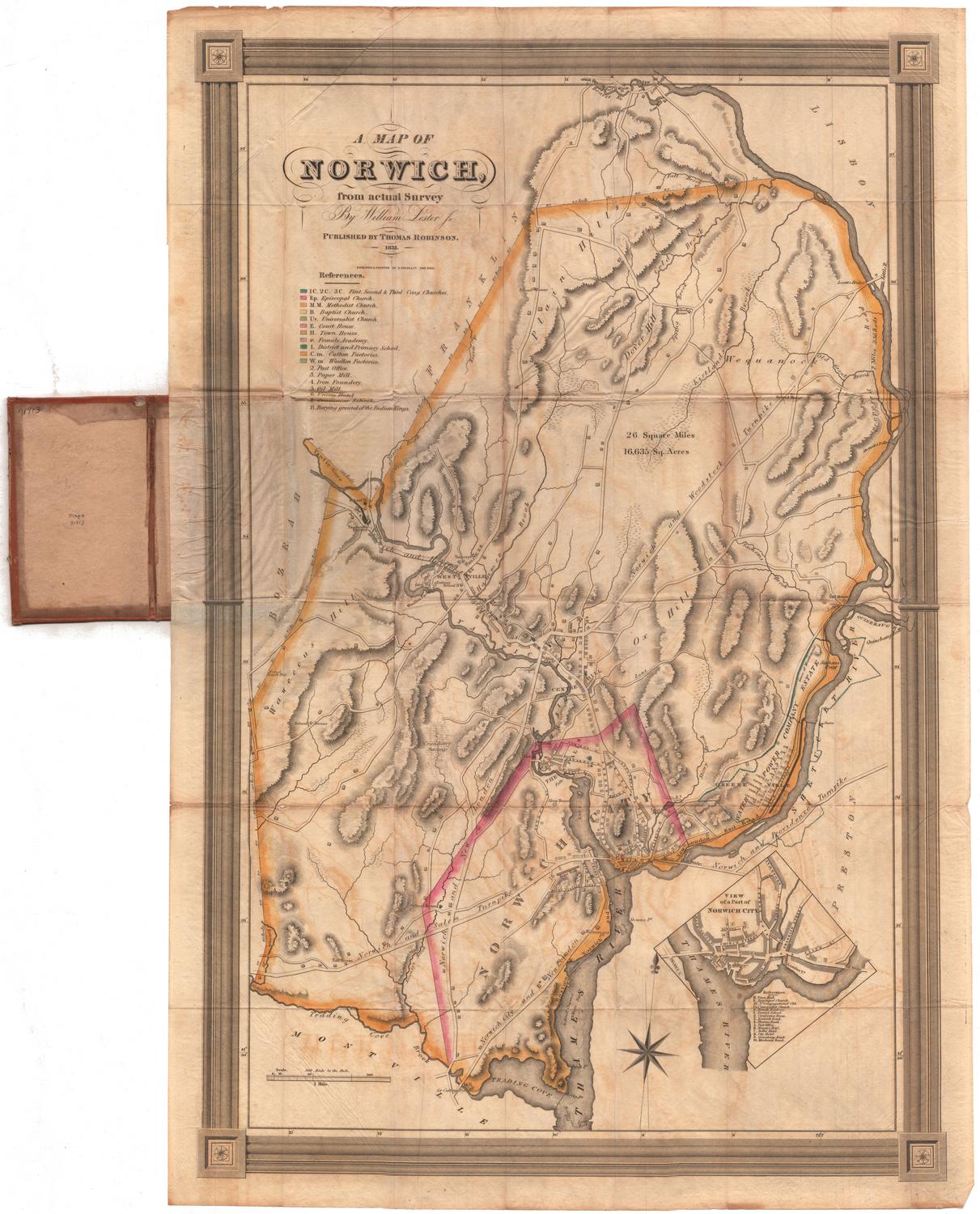
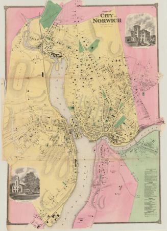
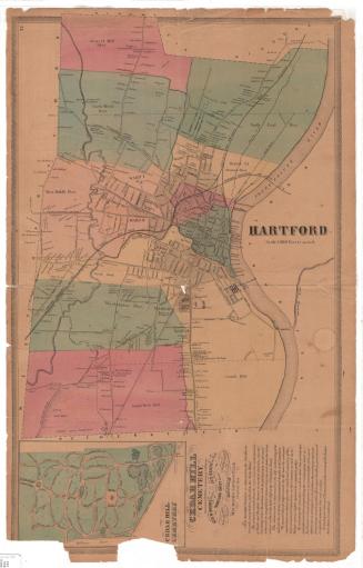
DescriptionMap of Norwich, Connecticut, with "Up-Town Plain" to the north, a stand of trees to the east, the Thames and Shetucket rivers to the south, and Yantic Cove to the west. The names of villages and physical features such as hills and rivers, and local roads with red squares on them indicating residences, public buildings and businesses are marked on the map in red. Notable landmarks include "an interloping r.r. of late date," "No-Mans Acre," "Savin-Hill," and "Chelsea Landing." Elevation is conveyed with hachure marks.
Label TextForgotten today, Donald Grant Mitchell was a best-selling author in the 1800s. He was born in Norwich in 1822 and so would have been eight years old in 1830, the year supposedly depicted in this map. Reminiscences of boyhood appear frequently in Mitchell's writings and presumably were based on his own experiences growing up in Norwich. Reminiscences of boyhood also appear on this map in notations such as "Early Peas!" "Chestnut Trees!!" and "Skating & Cranberries!" with lots of exclamation marks. A special kind of retrospective or historical map, this map is a highly personal document that depicts the town that as Mitchell remembered it from his youth.
NotesCartographical Note: No scaleStatus
Not on view