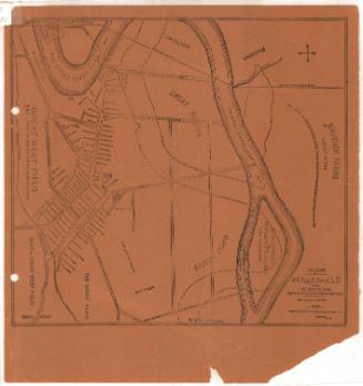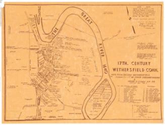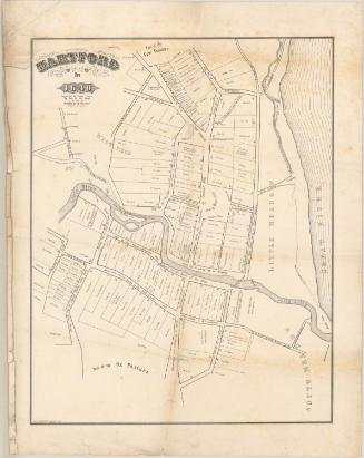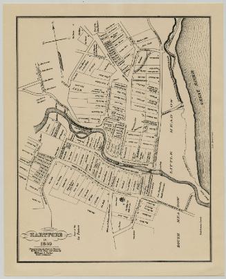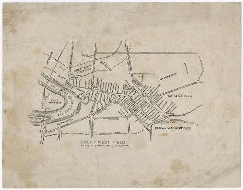
Village of Wethersfield, Conn. A.D. 1634 to 1644
PrinterPrinted by
Unknown
After a work byAfter a work by
Sherman Wolcott Adams
(American, 1836 - 1898)
Dateabout 1900
MediumLithography; black printer's ink on wove paper
DimensionsPrimary Dimensions (image height x width): 4 x 6 3/4in. (10.2 x 17.1cm)
Sheet (height x width): 7 x 9in. (17.8 x 22.9cm)
Sheet (height x width): 7 x 9in. (17.8 x 22.9cm)
ClassificationsGraphics
Credit LineConnecticut Museum of Culture and History collection
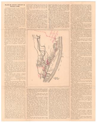
DescriptionMap of part of what is now Wethersfield, Connecticut, as it appeared in the 17th century. A loop of the Connecticut River (or Great River) appears to the north of the settlement, on the left edge of the map. Reading the map so that it is oriented north-south, the village extends from the Great River to the north, the Great Meadow to the east, the Great Plain to the south, and Beaver Brook to the west. In the river is Cole-Standish Island. Streets are labeled and residences and public buildings are marked with squares and the names of their owners or occupants.
Object number2012.312.29
NotesCartographic Note: No scaleOn View
Not on view