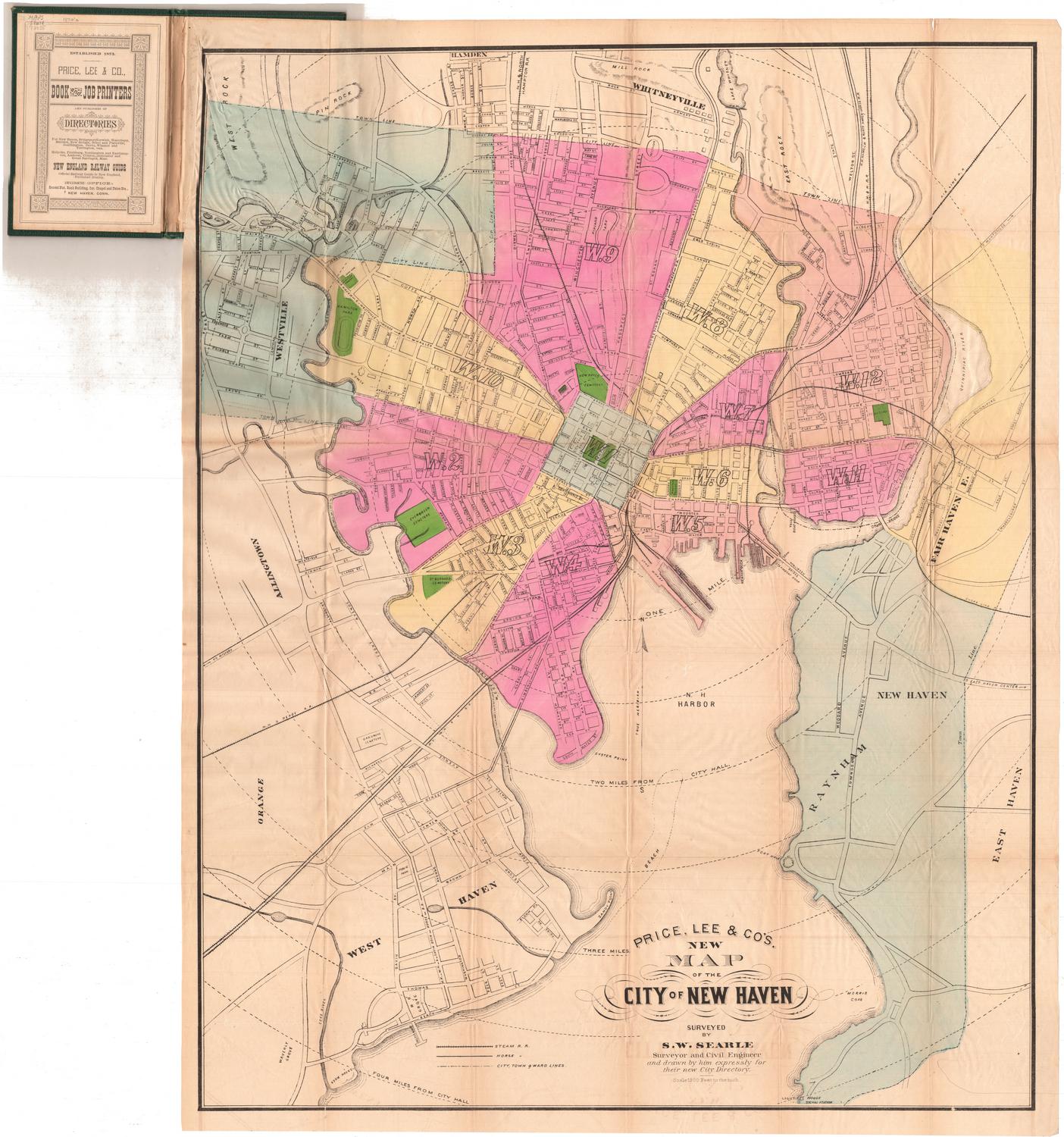
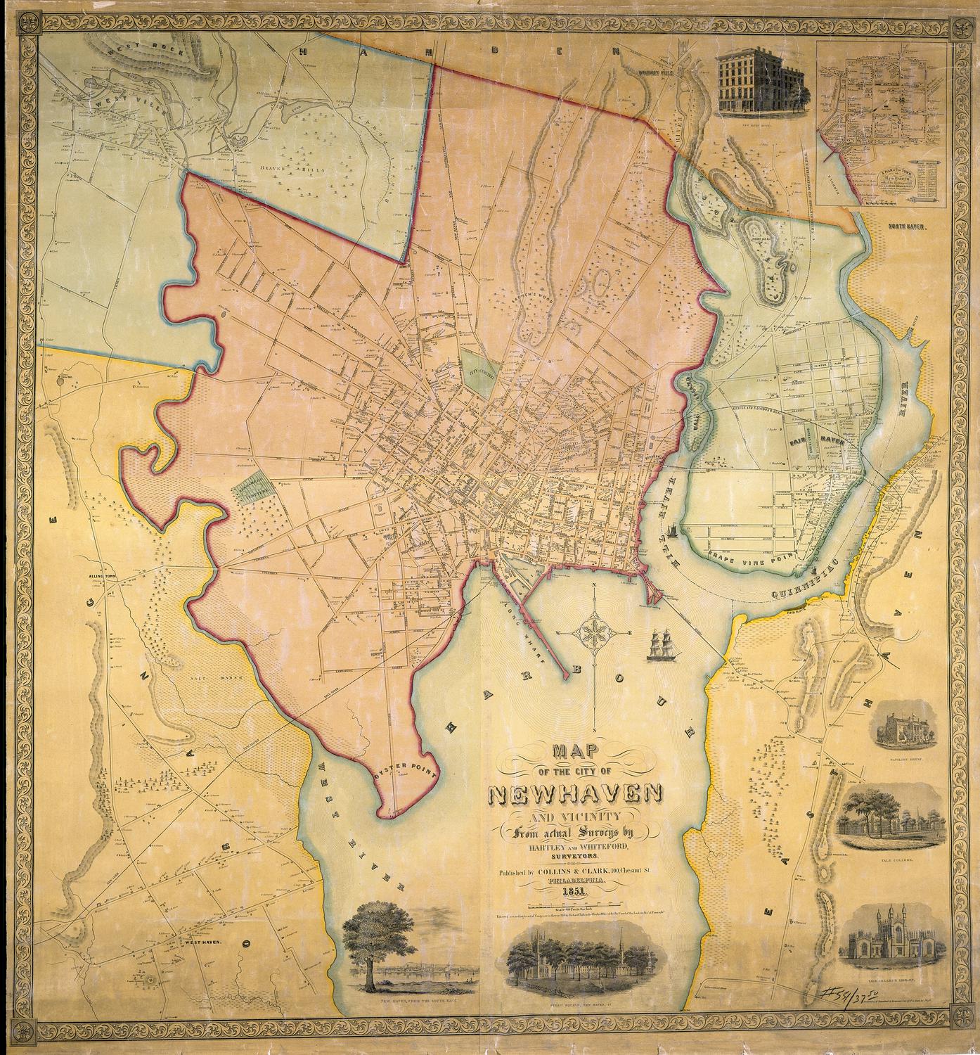
Old Tramping Ground
DraftsmanDrawn by
Amasa Clark Hall
(American, 1877 - 1922)
Date1908
MediumBlueprint; cyanotype on paper, mounted on cardboard
DimensionsPrimary Dimensions (image height x width): 8 1/2 x 13 1/2in. (21.6 x 34.3cm)
Sheet (height x width): 8 1/2 x 13 1/2in. (21.6 x 34.3cm)
Mount (height x width): 8 1/2 x 13 1/2in. (21.6 x 34.3cm)
ClassificationsGraphics
Credit LineConnecticut Museum of Culture and History collection
Object number2012.312.27
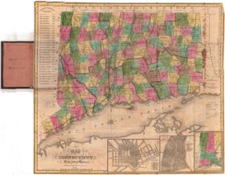
DescriptionBlueprint map of West Hartford and Farmington, Connecticut, oriented east-west and featuring the Farmington River, West Hartford reservoirs 1-6, railroads and roads. The railroads include the New England Division, the Northampton Division (of the New York, New Haven and Hartford Railroad), the New Hartford Branch (of the New York, New Haven and Hartford Railroad) and the Farmington Street Railway. Concentric circles radiate out in one-mile increments from West Hartford. To the left is a "Points of Interest" list, containing eleven numbered landmarks, the locations of which have been marked on the map. Most of the features on the list are natural - Hospital Rock, Will Warren's Den, Pinnacle Rock, and more - with the remaining few being man-made towers and aqueducts.
Label TextAmasa Clark Hall was a junior at Trinity College when he was hired as an engineer by the Hartford Water Company. Not surprisingly, the Hartford reservoir system figures prominently in this map, which shows some of Hall's favorite hiking destinations in the West Hartford, Farmington, Avon area. Some of these sites, such as Hospital Rock, Will Warren's Den, and the Farmington Aqueduct remain prominent landmarks; others, such as the Stone Finger, a rock formation east of Reservoir 3, no longer exist. Kilkenny Rocks and Pinnacle Rock now lie along the Metacomet Trail, part of Connecticut's blue trail system, which did not exist in Hall's day. The "former tower" on Talcott Mountain probably refers to Bartlett's Tower, which was destroyed in 1893. It was on the site of the Heublein Tower, which was constructed in 1914.
NotesCartographic Note: Scale: 1 inch equals 1 mileStatus
Not on view

Kellogg & Bulkeley
1910-1915