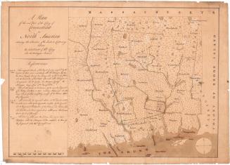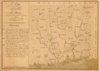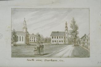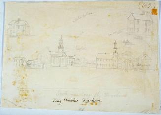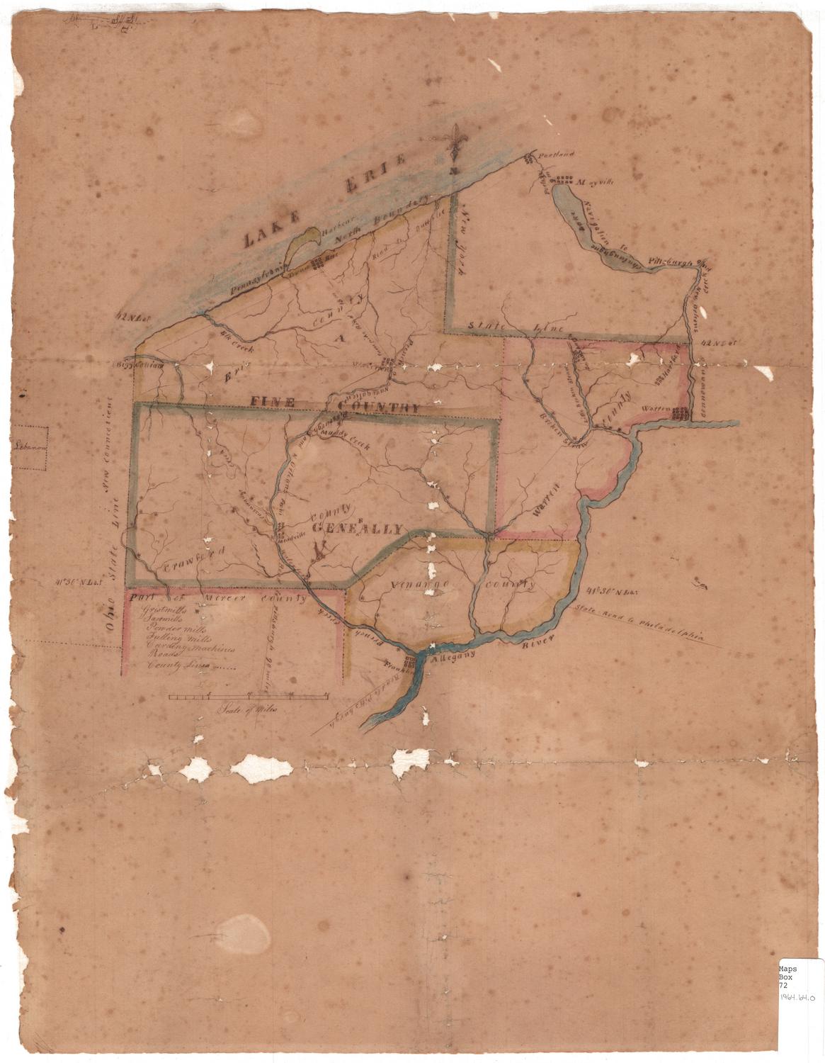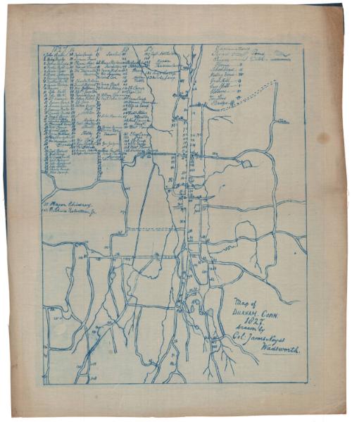
Map of Durham
DraftsmanDrawn by
Colonel James Noyes Wadsworth
(American)
Date1827
MediumBlueprints; cyanotype on linen-weave paper
DimensionsPrimary Dimensions (image height x width): 15 1/16 x 11 3/4in. (38.3 x 29.8cm)
Sheet (height x width): 18 1/4 x 15in. (46.4 x 38.1cm)
ClassificationsGraphics
Credit LineConnecticut Museum of Culture and History collection
Object number2012.312.25
DescriptionMap of the town of Durham, Connecticut. A key at upper left references the names of property owners in 1827. An "explanation" at upper right provides a key to roads, rivers, ponds, ditches, houses, school houses, meeting houses, grist mills, sawmills, clothiers, the town house, and bridges.
Label TextThis blueprint of a manuscript map of the town of Durham, Connecticut, was probably made early in the twentieth century. Despite its apparently early date, the map itself may have been made around the same time, and based on early sources. The attribution of the map to "Col. James Noyes Wadsworth" is also something of a mystery, desptie the inscription. No record of "James Noyes Wadsworth" has been found, and Colonel James Wadsworth, a Revolutionary War soldier, had been dead for ten years in 1827, the date when the map was purportedly made.
NotesCartographic Note: No scaleStatus
Not on view