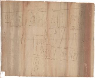
Map of the Homestead of James Hosmer, deceased, situate on Main Street, in the City of Hartford
SurveyorSurveyed by
Nathaniel Goodwin
(American, 1782 - 1855)
Date1837
MediumDrawing; ink, pencil and watercolor on wove paper on linen
DimensionsPrimary Dimensions (image height x width): 14 x 17in. (35.6 x 43.2cm)
Sheet (height x width): 14 1/4 x 20in. (36.2 x 50.8cm)
ClassificationsGraphics
Credit LineConnecticut Museum of Culture and History collection
Object number2012.312.19
DescriptionPlat of a lot in Hartford, Connecticut, and the buildings on it, including measurements in feet and inches, explanations of some of the measurements, and descriptions of the buildings. It is bounded on the west by Main Street; there are no other streets or boundaries given.
Label TextJames Hosmer was born September 30, 1751 and died August 19, 1837. Since this map of his property on Main Street, Hartford, was made the year that Hosmer died, it probably relates to the settlement of his estate. Nathaniel Goodwin, who drew the map, was a clerk of the probate court. Hosmer and his wife, Anne Bidwell, had three children, James Bidwell Hosmer, Charles Hosmer, and Anne Hosmer. James Bidwell Hosmer inherited the house and continued living there until his own death in 1878, eschewing modern conveniences and maintaining the little frame house just as it had been when first built in the eighteenth century.
NotesCartographic note: No scale providedConstituent Note: Nathaniel Goodwin (1782-1855) was a clerk of the probate court in Hartford and County Surveyor for Hartford County in 1837, the year this map was drawn.
Status
Not on view