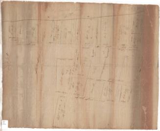
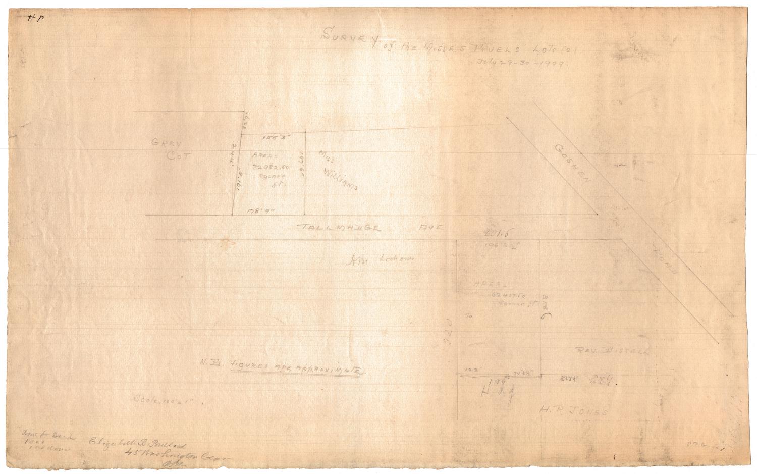
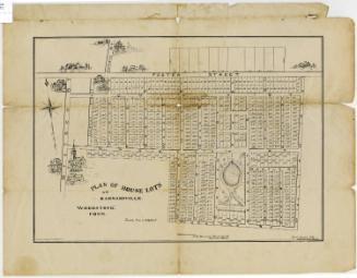
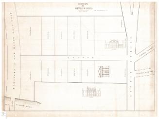
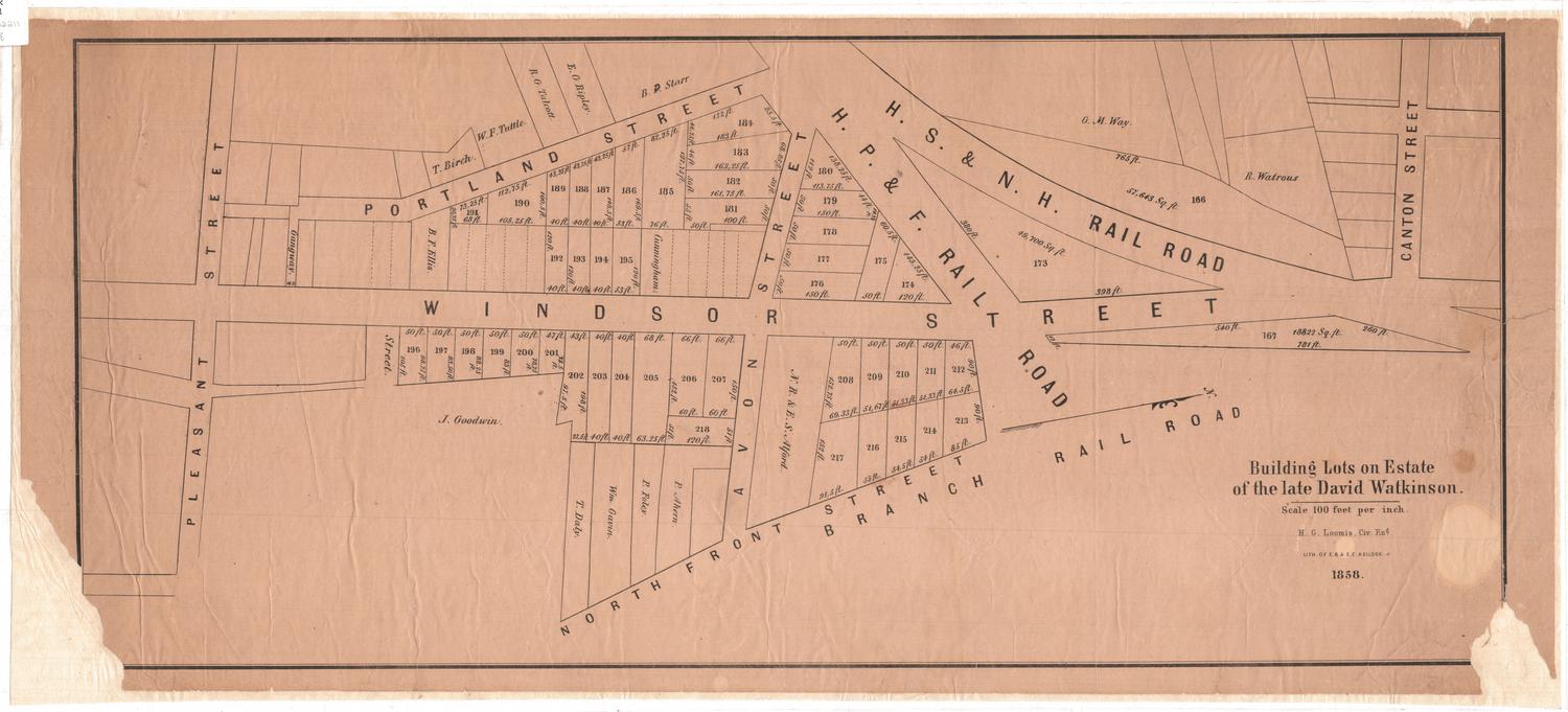
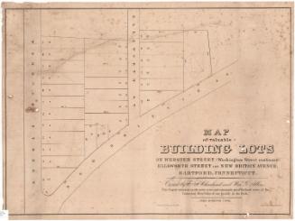
Map of 28 Building Lots in the City of Hartford
MakerMade by
Unknown
Date1836
MediumDrawing; ink on paper
DimensionsPrimary Dimensions (image height x width): 15 1/2 x 22in. (39.4 x 55.9cm)
Sheet (height x width): 19 1/8 x 23 5/8in. (48.6 x 60cm)
ClassificationsGraphics
Credit LineConnecticut Museum of Culture and History collection
Object number2012.312.18
DescriptionMap of twenty-eight lots, with dimensions, in Hartford, Connecticut, on the north and south sides of North Market Street, with Village Street to the west.
NotesCartographic Note: No scaleDuring the 1830s, new houses were going up in the North End of Hartford. At this time, maps of property for sale were often provided to would-be purchasers by auctioneers. This unique manuscript map of twenty-eight lots between Market Street and Village Street belonged to Samuel Olcott, who purchased one of the lots. It may be difficult for modern viewers to figure out exactly where these lots were located. The layout of Market Street was altered several times between 1836 and the present, and Village Street was entirely eliminated in 1963, during urban renewal.
Status
Not on view

D. W. Kellogg & Co.
1830-1840