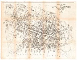
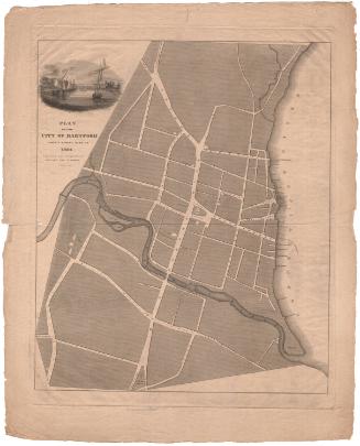
City of Hartford, Map of 2nd, 3rd & 5th Wards
SurveyorSurveyed by
Hiram G. Loomis
(American, 1834 - 1911)
SurveyorSurveyed by
Seth E. Marsh
(American, about 1823 - 1878)
PrinterEngraved by
Kellogg & Bulkeley
(American, 1867 - 1990)
PrinterPrinted by
Kellogg & Bulkeley
(American, 1867 - 1990)
MakerColored by
Kellogg & Bulkeley
(American, 1867 - 1990)
PublisherPublished by
Baker & Tilden
(founded 1869)
Date1869?
MediumLithography; black printer's ink and watercolor on wove paper
DimensionsPrimary Dimensions (image height x width): 16 5/8 x 28 1/8in. (42.2 x 71.4cm)
Sheet (height x width): 17 5/8 x 28 1/8in. (44.8 x 71.4cm)
ClassificationsGraphics
Credit LineConnecticut Museum of Culture and History collection
Object number2012.312.17
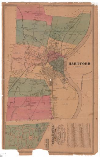
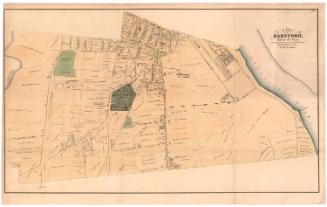
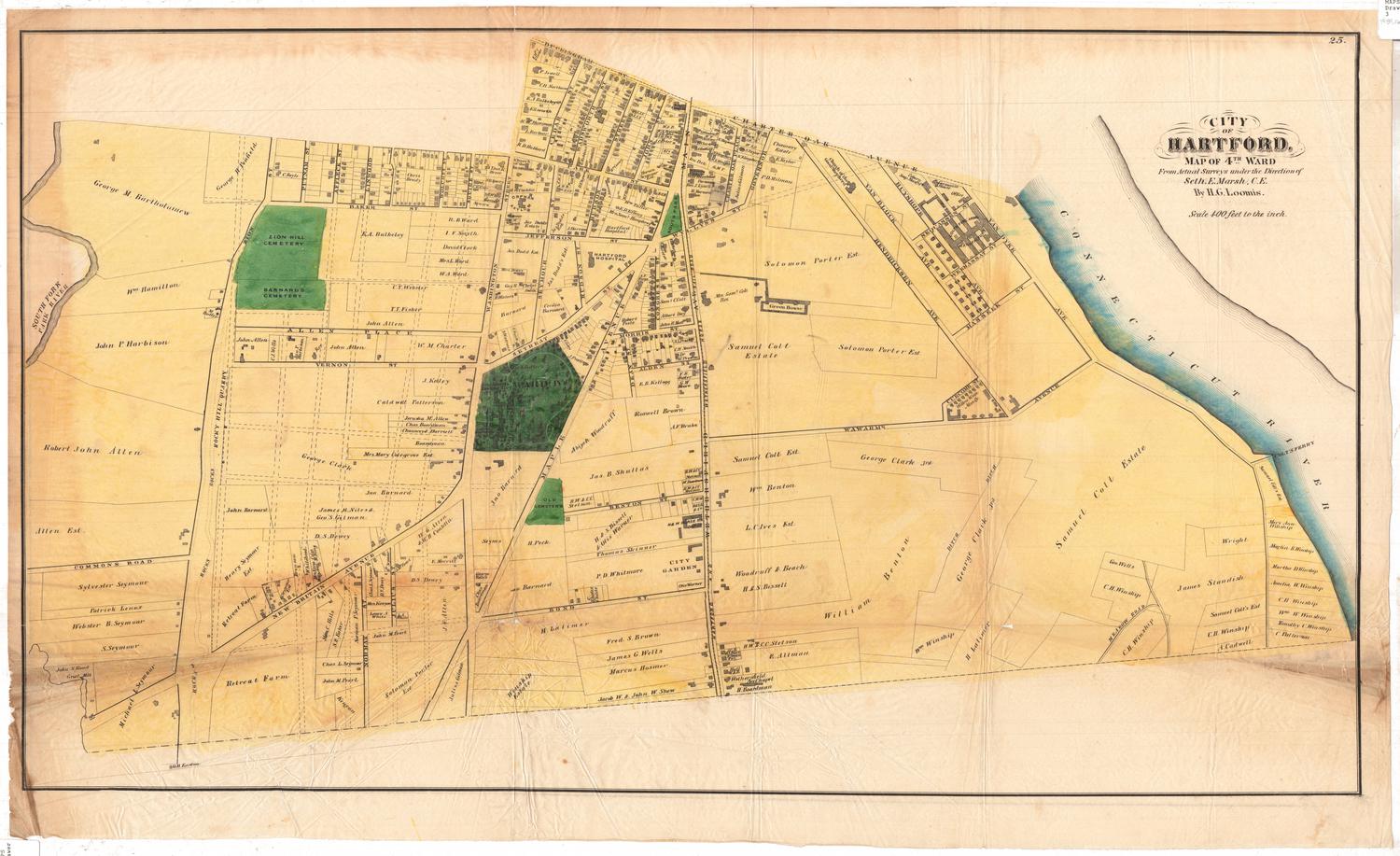
DescriptionStreet map of Hartford, Connecticut's 2nd, 3rd and 5th Wards. Ward 2 is bounded to the north by Asylum Avenue and Church Street, to the east by Main Street, to the south by the Park River, and to the west by the North Branch of the Park River. The Hartford, Providence & Fishkill and New Haven and Hartford Rail Roads run through it, with Union Station appearing south of Church Street. Ward 3 is bounded by the Park River to the north, Vredendale Avenue to the east, Buckingham Street and Charter Oak Avenue to the south, and the South Branch of the Park River to the west. Bushnell Park (referred to as "The Park") and Trinity College are in between Wards 2 and 3. War 5 is bounded to the north by Kilbourn Street, the Connecticut River to the east, the Park River to the south, and Main Street to the west. Residences and commercial establishments are included and sometimes, but not always, labeled with the name of the owner.
Label TextIn 1857, the town of Hartford, Connecticut was divided into three voting districts, the Middle, South, and North Districts, each with its own separate polling place. As the population continued to increase, additional districts were required, and ten years later, in 1867, Hartford was divided into seven voting districts, now known as wards. This 1869 map depicts three of these new voting districts shortly after they were established. Ward politics in some other cities such as New York and Chicago were notoriously corrupt, but this does not appear to have been an issue in Hartford during the 1800s.
NotesCartographic Note: No scaleSubject Note: The map was originally published in 1869 by Baker & Tilden in the Atlas of Hartford City and County, with a Map of Connecticut From Actual Surveys.
Status
Not on view