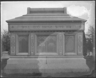
Cedar Hill Cemetery
MakerMade by
Unknown
Dateabout 1866
MediumLithography; black printer's ink on wove paper
DimensionsPrimary Dimensions (image height x width): 12 1/4 x 6 3/8in. (31.1 x 16.2cm)
Sheet (height x width): 14 1/2 x 9 3/8in. (36.8 x 23.8cm)
Sheet (height x width): 14 1/2 x 9 3/8in. (36.8 x 23.8cm)
ClassificationsGraphics
Credit LineConnecticut Museum of Culture and History collection
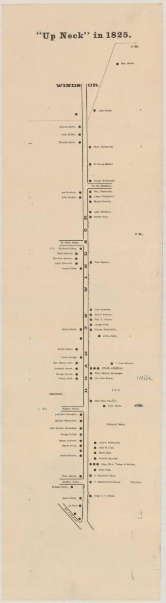
DescriptionMap of Cedar Hill Cemetery in Hartford, Connecticut, showing the paths and natural features of the site. The location of Cedar Croft, presumably a private home, is noted in brown ink in the corner of the map, outside the cemetery grounds. Fairfield Avenue is the diagonal road in the foreground.
Object number2012.312.14
MarkingsVerso, center, stamped in blue ink: "CtHi"InscribedRecto, top left, handwritten in black ink: "11"Top left, handwritten in black ink: "Cedar Croft / [illegible]"
Verso, lower left, handwritten in pencil: "Cedar Hill Cemetary, Htfd. / incorporated 1864 / 258 Acres"NotesCartographic Note: No scale
Collections
- Maps and Charts: Finding Your Place in Connecticut History
On View
Not on view