Yale University
MakerMade by
Unknown
Date1928-1932
MediumLithograph; printer's ink on wove paper
DimensionsPrimary Dimensions (image height x width): 7 7/8 x 11 1/8in. (20 x 28.3cm) and smaller
Sheet (height x width): 9 1/2 x 12in. (24.1 x 30.5cm)
Sheet (height x width): 9 1/2 x 12in. (24.1 x 30.5cm)
ClassificationsGraphics
Credit LineConnecticut Museum of Culture and History collection
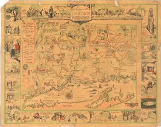
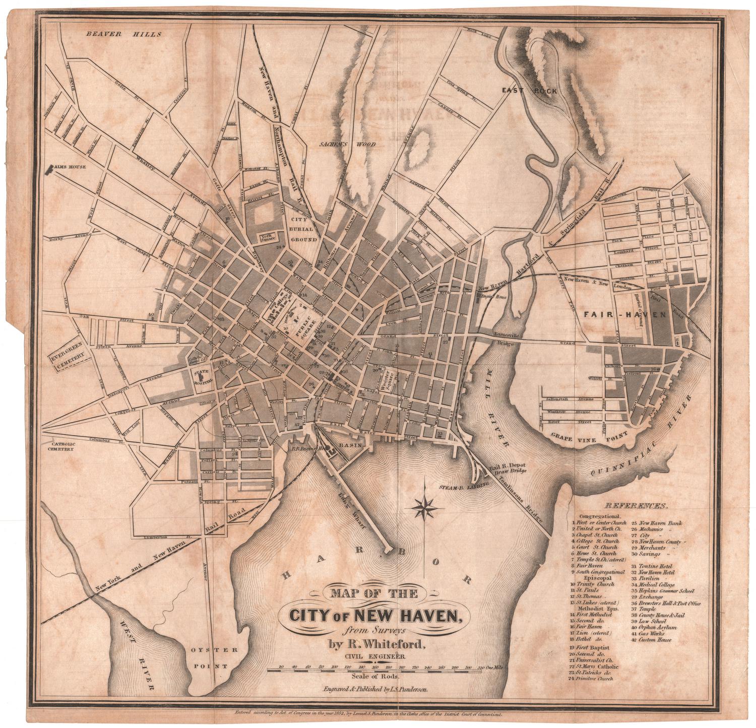
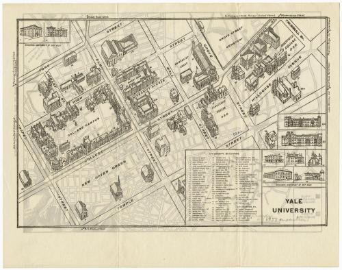
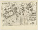
DescriptionBird's eye view of Yale University buildings in New Haven, Connecticut, from Carnegie Swimming Pool to the north, The Colony to the east, New Haven Green and three city churches to the south, and College Street Hall to the west. The buildings are drawn in accordance with their architectural style. Not all university buildings are on the map, and the ones that are not are included in insets at the top left (buildings southwest of the map area) and bottom right (buildings northeast of the map area). In the bottom right corner, there is a list of university buildings that correspond with numbers on the map. Beyond the boundary lines of the map there are small arrows pointing toward other Yale or New Haven landmarks: West Rock, the infirmary, East Rock Park, the railroad station, the athletic field, and more.
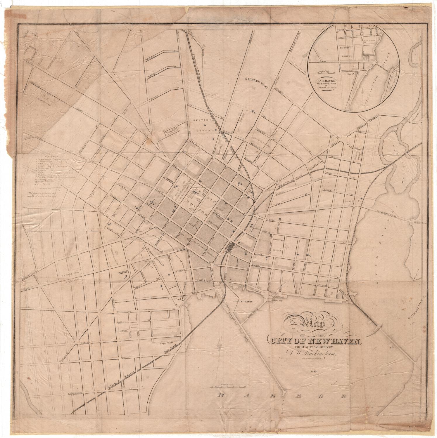
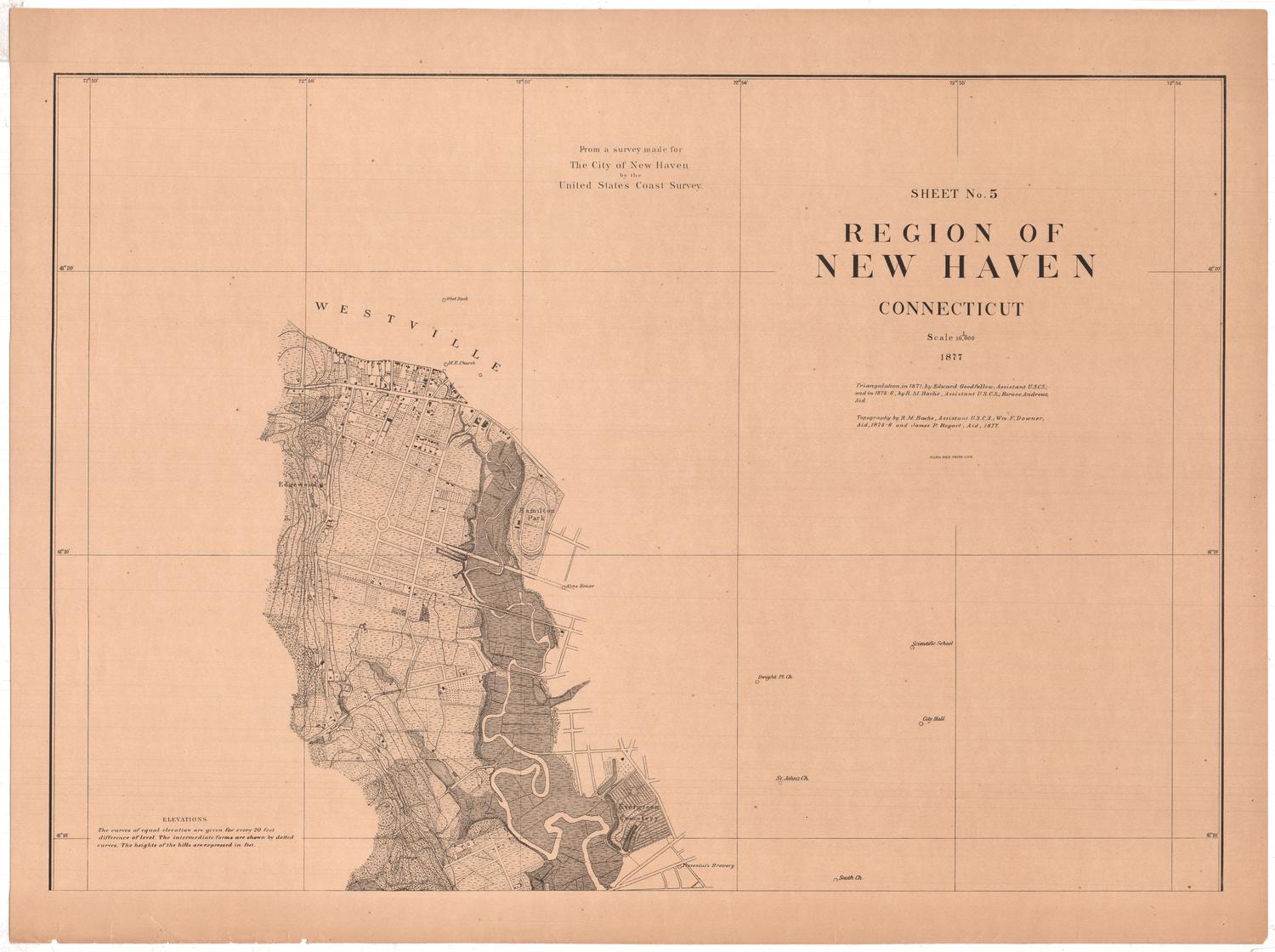
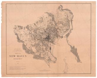
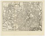
The other side of the map has a street map of New Haven. In the lower left corner, there is a key explaining that Yale buildings are shaded in black and other buildings in diagonal lines. Three concentric circles mark the center of the map, which is the portion of New Haven occupied by Yale.Various landmarks are named, most of them Yale buildings that are located away from the main campus; they include the Yale Observatory, the athetic field and new Yale field. Many of the street names are provided.
The other side of the map has a street map of New Haven. In the lower left corner, there is a key explaining that Yale buildings are shaded in black and other buildings in diagonal lines. Three concentric circles mark the center of the map, which is the portion of New Haven occupied by Yale.Various landmarks are named, most of them Yale buildings that are located away from the main campus; they include the Yale Observatory, the athetic field and new Yale field. Many of the street names are provided.
Object number2012.312.7
NotesCartographic note: Scale: 1 1/2 inches = 1/2 mile
Date Note: The old Art Building on College Street was renamed Street Hall in 1928, and since it appears with that name, the map must date from 1928 or later. Since some of the buildings shown, including the Carnegie Swimming Pool and the Gymnasium, were demolished in 1932, the map have been made before that date.On View
Not on view