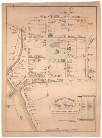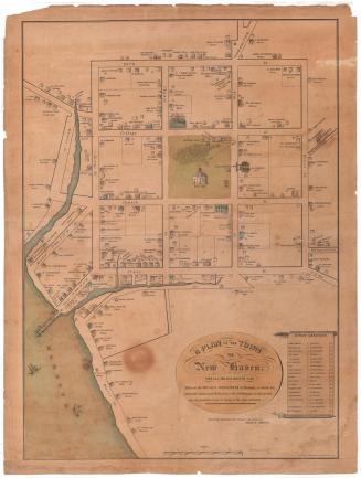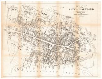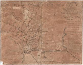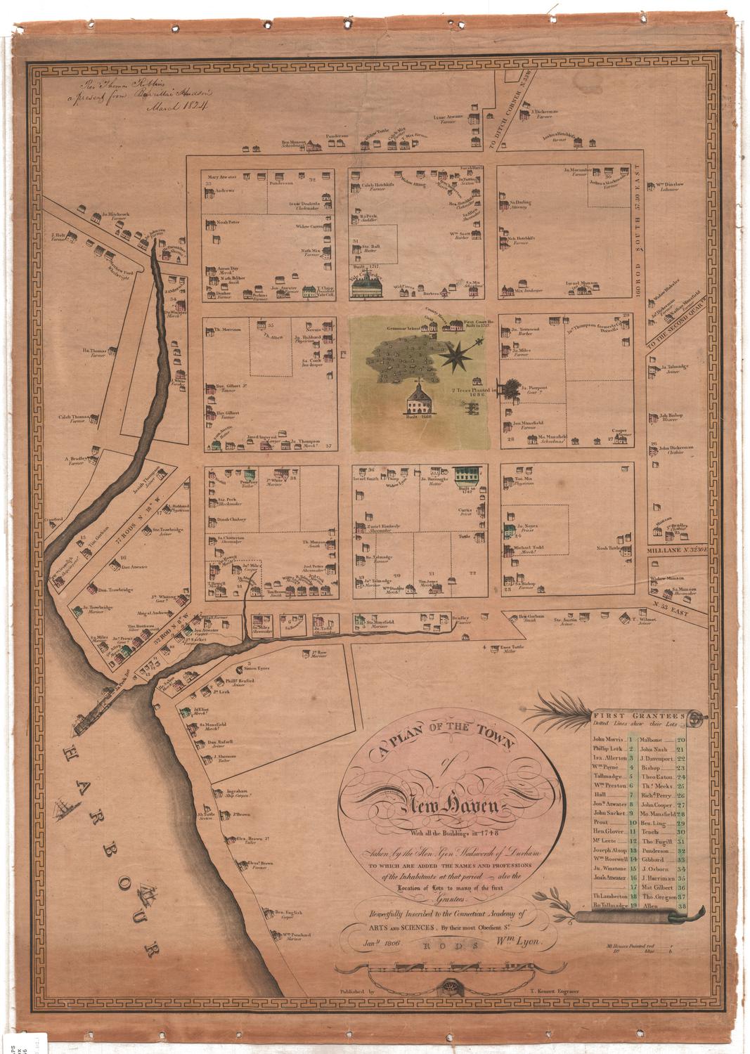
Plan of the Town of New Haven With all the Buildings in 1748
PrintmakerEngraved by
Thomas Kensett
(American, 1786 - 1829)
After a work byAfter a work by
James Wadsworth
(American, 1730 - 1817)
MakerDedicated by
William Lyon
(American, 1748 - 1830)
Date1806
MediumEngraving; black printer's ink and watercolor on paper, lined with linen
DimensionsPrimary Dimensions (image height x width): 26 3/4 x 19 1/2in. (67.9 x 49.5cm)
Sheet (height x width): 28 5/8 x 20 3/8in. (72.7 x 51.8cm)
Mount (height x width): 28 5/8 x 20 3/8in. (72.7 x 51.8cm)
ClassificationsGraphics
Credit LineConnecticut Museum of Culture and History collection
Object number2012.312.1
DescriptionMap of the city of New Haven, extending from the road to Ditch Corner to the north, Mill Lane to the east, the harbor to the south and west. With the exception of Mill Lane, none of the streets are named. Houses of varying sizes are depicted on the map, along with the name and profession of the owner or occupant. Only those houses given the code "r" or "b" (for red and blue, respectively) have been colored. In the center is the town green, with a grammar school, county house, court house, and a building that is labeled as the "goal," although this may be a misspelling of "gaol." There is a cemetery depicted in the green, a church that was built in 1668, an unlabeled building, and three canons. Also located in the green on the map is the eight-point compass and north arrow, oriented toward the top right corner of the map. Across from the green is Yale College at the top and "2 Trees Planted in 1686" at the right. In the harbor, several ships are sailing and are docked. The borders of the map are decorative, with a geometric pattern, and the list of First Grantees on the right side is in the shape of a scroll, at the top of which is a leafy branch that appears similar to a palm frond, and at the bottom of which is what appears to be an olive branch.
Label TextOriginally surveyed by John Brockett in 1638, New Haven was laid out on a grid plan with an orderly arrangement of streets and squares, which is sometimes interpreted as as schematic representation of the ideal New England village with meetinghouse, courthouse, and schoolhouse at the center, surrounded by the homes and farms of the residents. Over one hundred years later, this pattern was still evident in James Wadsworth's Plan of the Town of New Haven, with All the Buildings in 1748. Not only all are detailed representations of all the buildings included; Wadsworth's plan also includes the names and occupations of all of the occupants, providing a vivid picture of the makeup of the town at that point in time. Differences in the size and construction of the houses are clearly visible and reflect the social and economic position of their occupants. Although it depicts New Haven as it appeared in 1748, Wadsworth's plan was not published until 1806. It is therefore an early example of a retrospective map, suggesting that by the early 1800s, Americans were already beginning to look back with interest at their Colonial past.
NotesCartographical Scale: About 3/4 of an inch equals 10 rodsClassification Note: In terms of this project, "historical maps" refer to those made at a later date than the time period depicted.
Status
Not on view