Skip to main content
Collections
People
Favorites
Advanced Search
Maps and Charts: Finding Your Place in Connecticut History
Close
Refine Results
Artist / Maker / Culture
Unknown
(67)
Metropolitan District Commission
(44)
Kellogg & Bulkeley
(25)
United States Coast Survey
(25)
Mather, Case, Tiffany & Burnham
(24)
F. W. Beers & Co.
(21)
Richard Clark
(21)
Julius Bien
(20)
Connecticut State Highway Department
(20)
Amos Doolittle
(18)
Load all
Artist / Maker / Culture
Classification(s)
Graphics
(805)
Equipment
(1)
Hardware
(1)
Collections
Maps and Charts: Finding Your Place in Connecticut History
(807)
Kellogg Brothers Lithographs
(1)
Date
to
Department
Visual Collections
(807)
Image Available
On View
Sort:
Collection (Ascending)
Collection (Descending)
Title (A–Z)
Date (Older First)
Object number (Ascending)
Primary Maker (A-Z)
Last Updated (Ascending)
List
Images
Table
Filters
View PDF
807 results
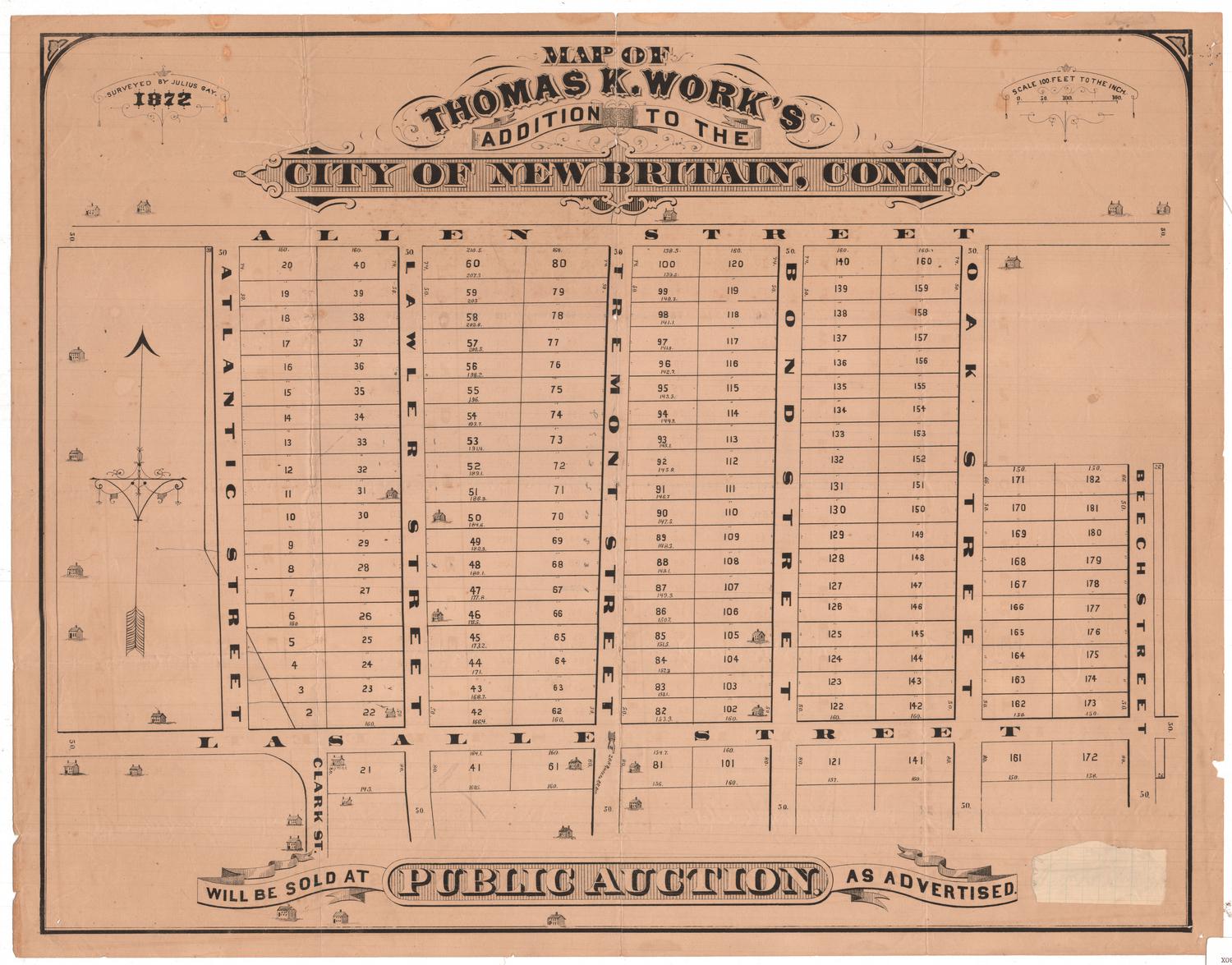
Map of Thomas K. Work's Addition to the City of New Britain, Connecticut, Will be Sold at Public Auction. As Advertised.
Julius Gay
1872
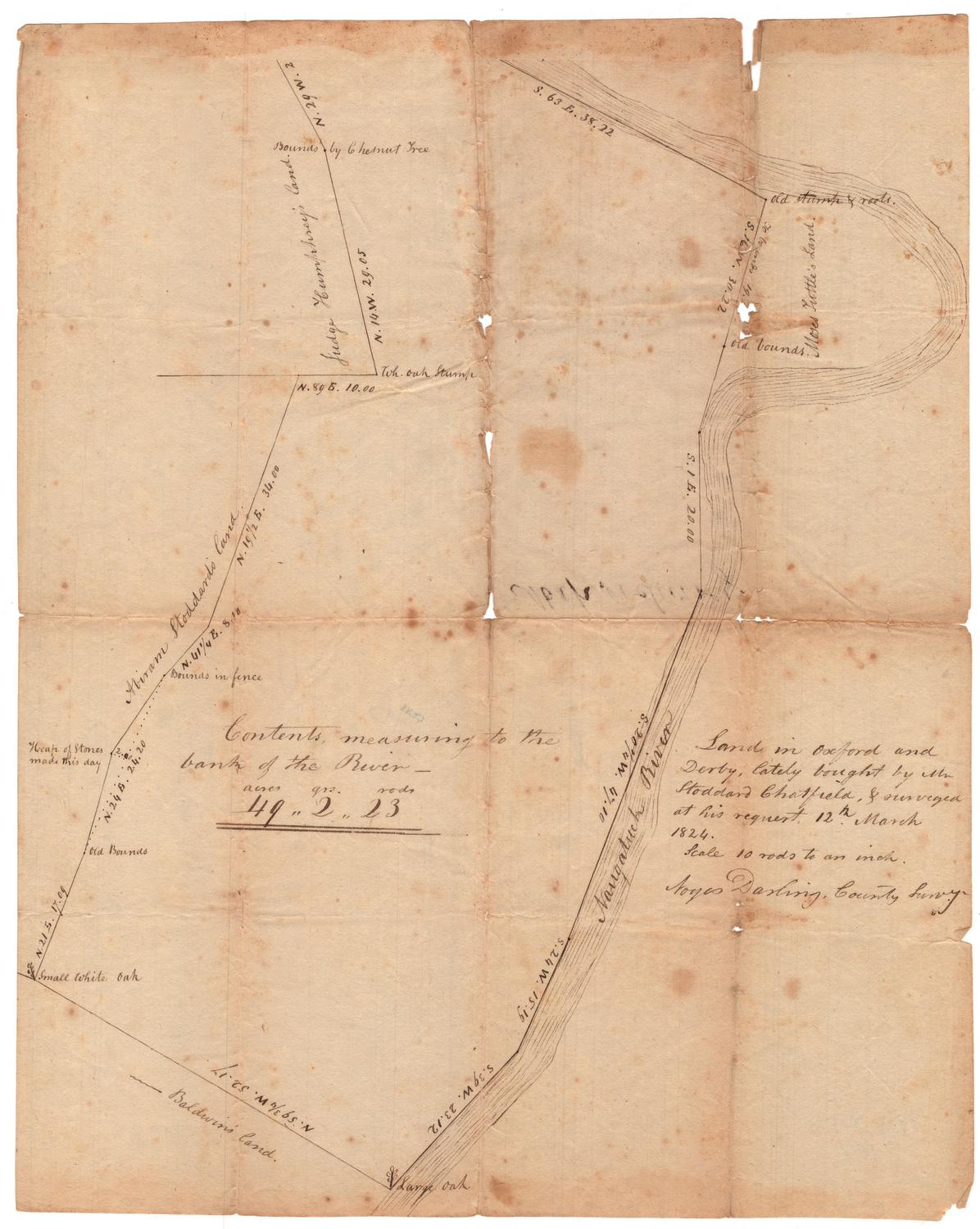
Land in Oxford and Derby, Lately Bought by Mr. Stoddard Chatfield, & surveyed at his request
Noyes Darling
1824
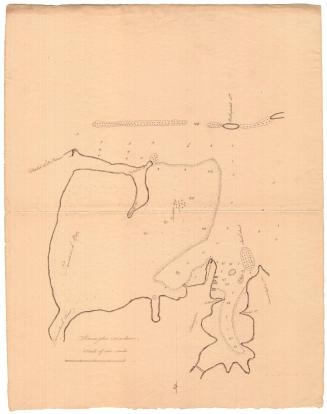
Stonington Harbor
Unknown
before 1824
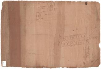
Plan of Company's Land
Unknown
before 1800
Image Not Available
for A Chart of the World
A Chart of the World
Hutchinson & Dwier
1834
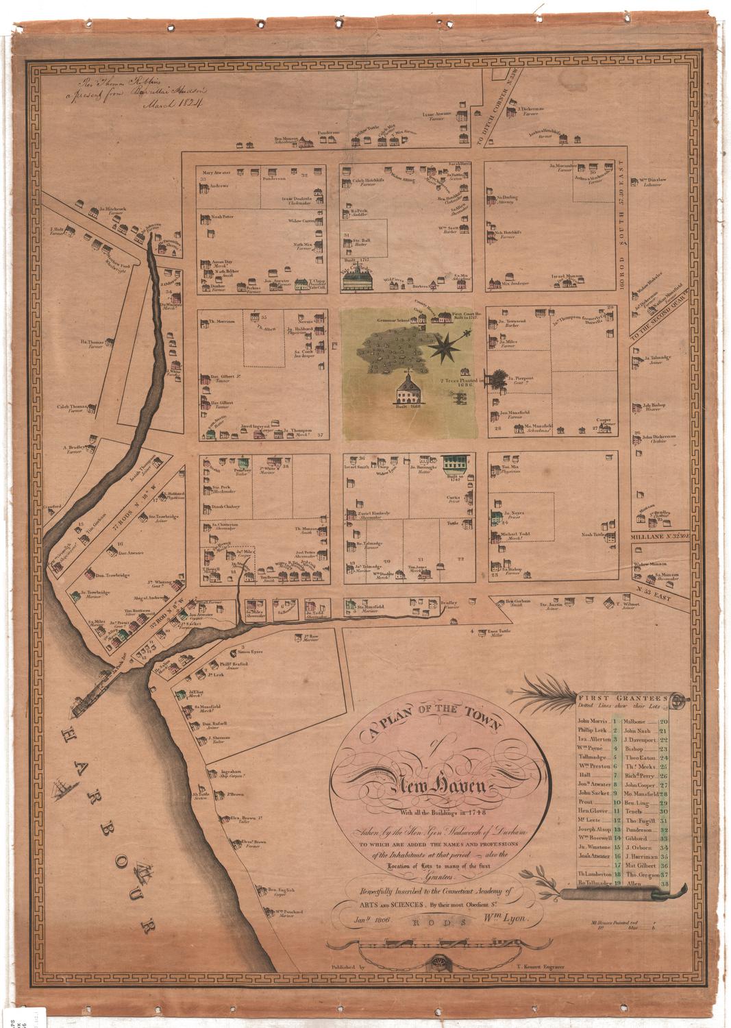
Plan of the Town of New Haven With all the Buildings in 1748
Thomas Kensett
1806
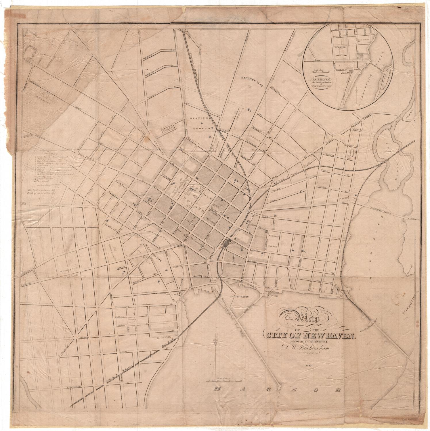
Map of the City of New Haven, From Actual Survey
David W. Buckingham
1849
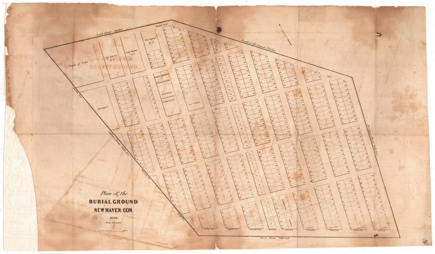
Plan of the Burial Ground
Unknown
1839
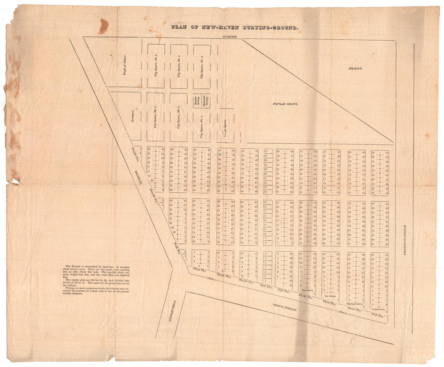
Plan of the New-Haven Burying-Ground
Unknown
before 1839
Map of Bridgeport
Unknown
1872
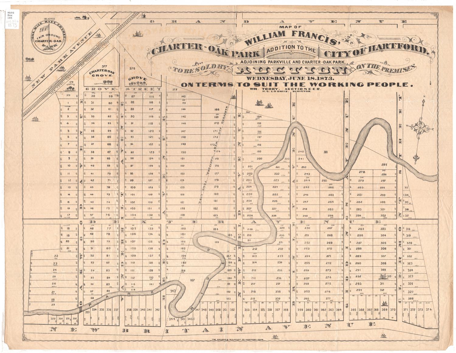
Map of William Francis' Charter-Oak Park Addition to the City of Hartford
Hiram G. Loomis
1873
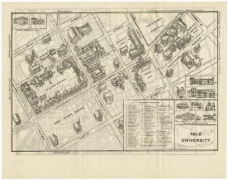
Yale University
Unknown
1928-1932
Next Page